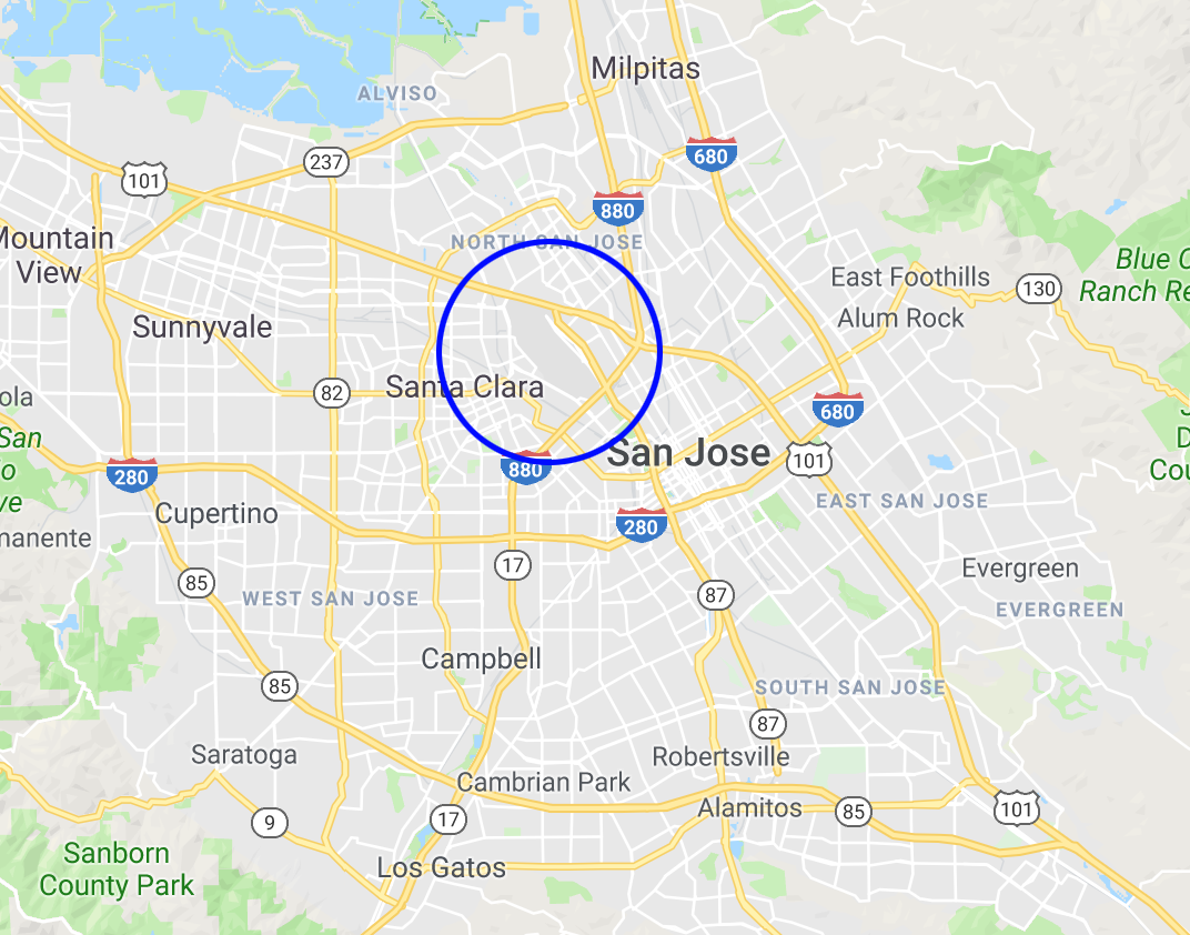
The Mineta San Jose International Airport is a boon for anyone living in or visiting Silicon Valley. We would miss it very much if it was demolished. But it is also located in the middle of the south Bay Area on a large piece of land, and the opportunity for redeveloping this land into homes, offices, etc. is huge (some numbers provided below).
Take this article as an interesting thought experiment and as a reminder to think big.
Land adjacent to the airport is for industrial use and for parking and businesses that service the airport. As we redevelop the airport, we also redevelop adjacent industrial buildings in order to better use the land. In the picture below, the airport is in the purple area, but the other colored areas are also part of the proposed redevelopment. The land is in San Jose and Santa Clara.
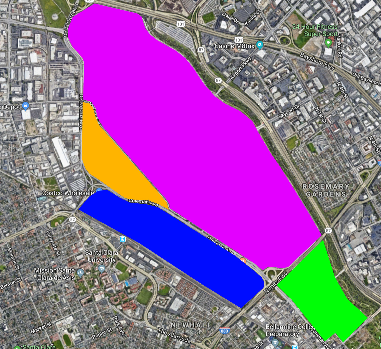
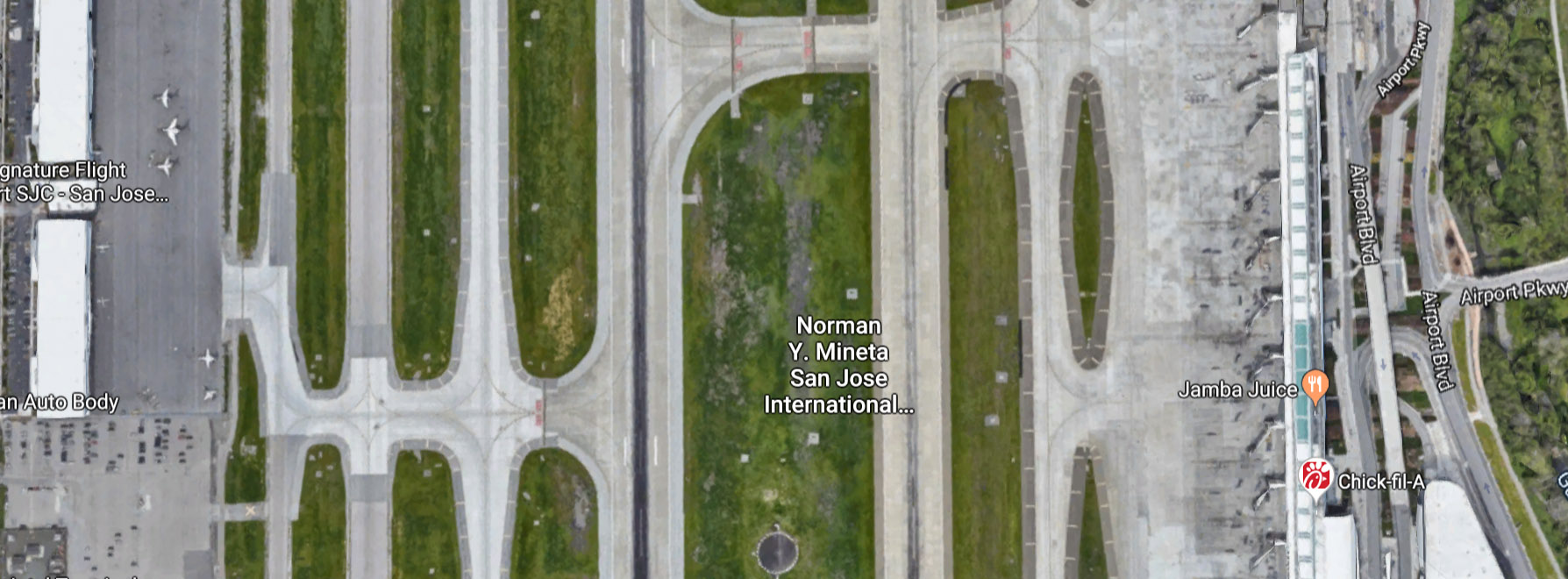
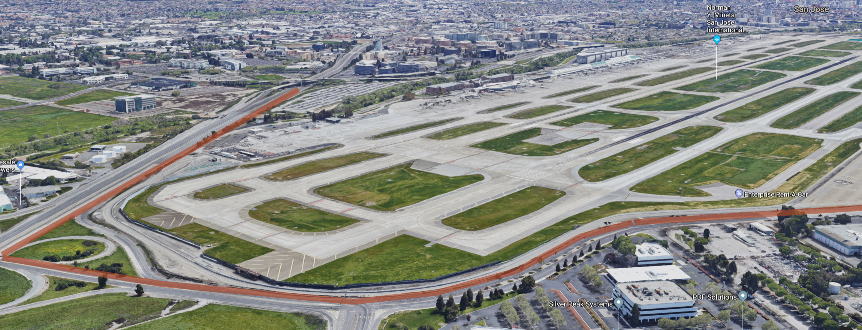
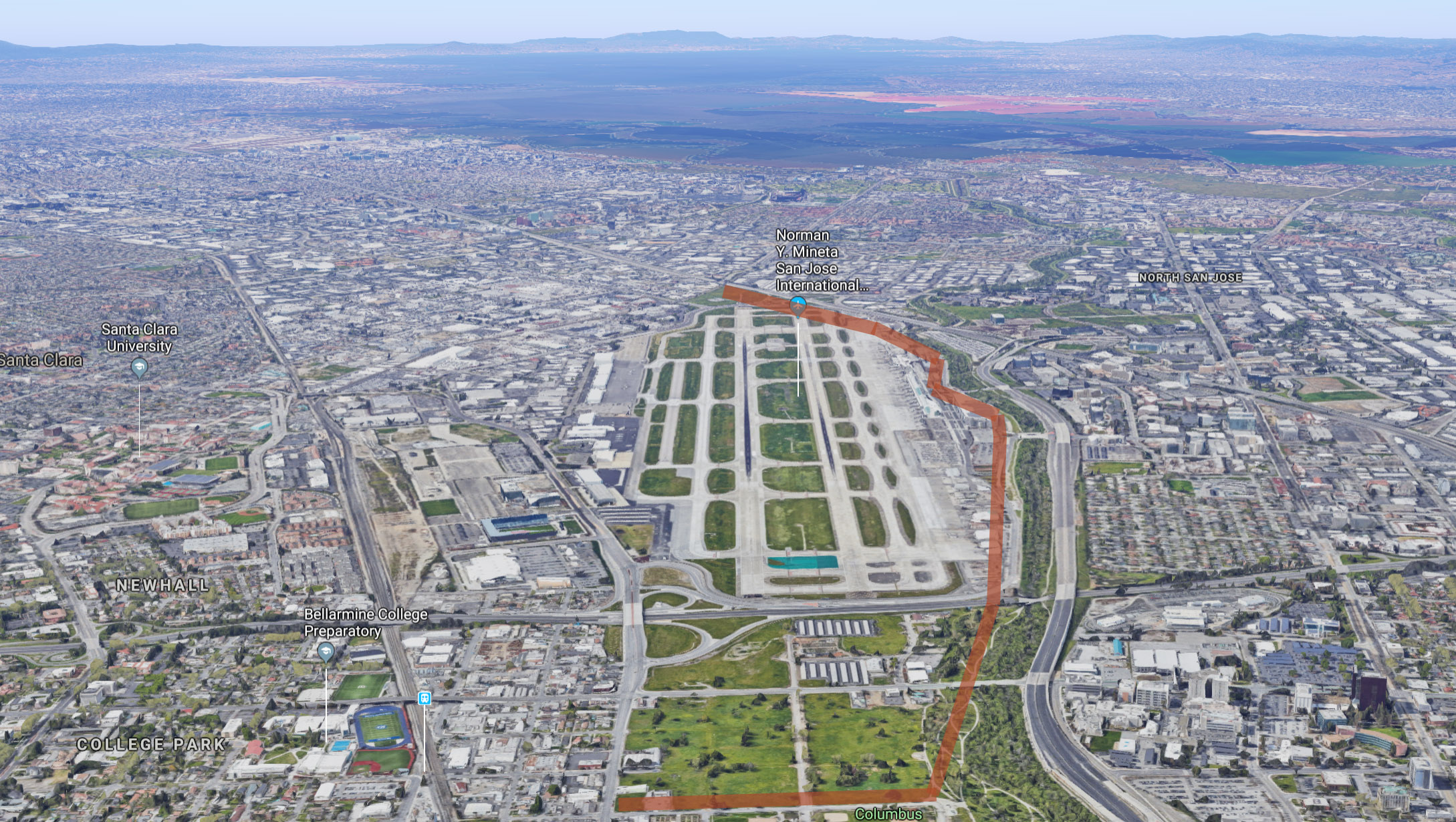
The main airport area (shown in purple above) is mostly runway, with hangars on one side and terminals on the other. The Guadalupe River runs between the airport and highway 87.
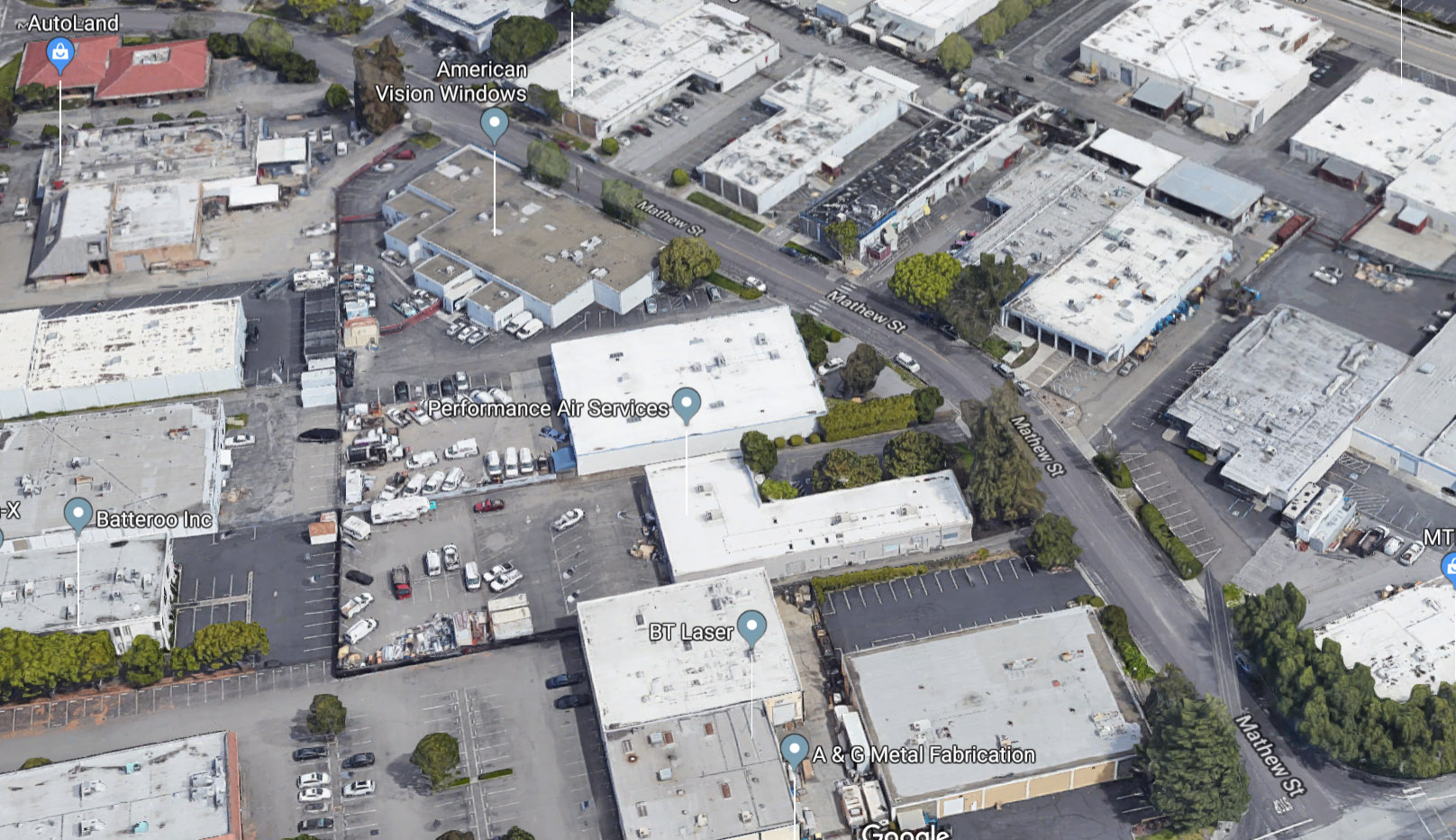
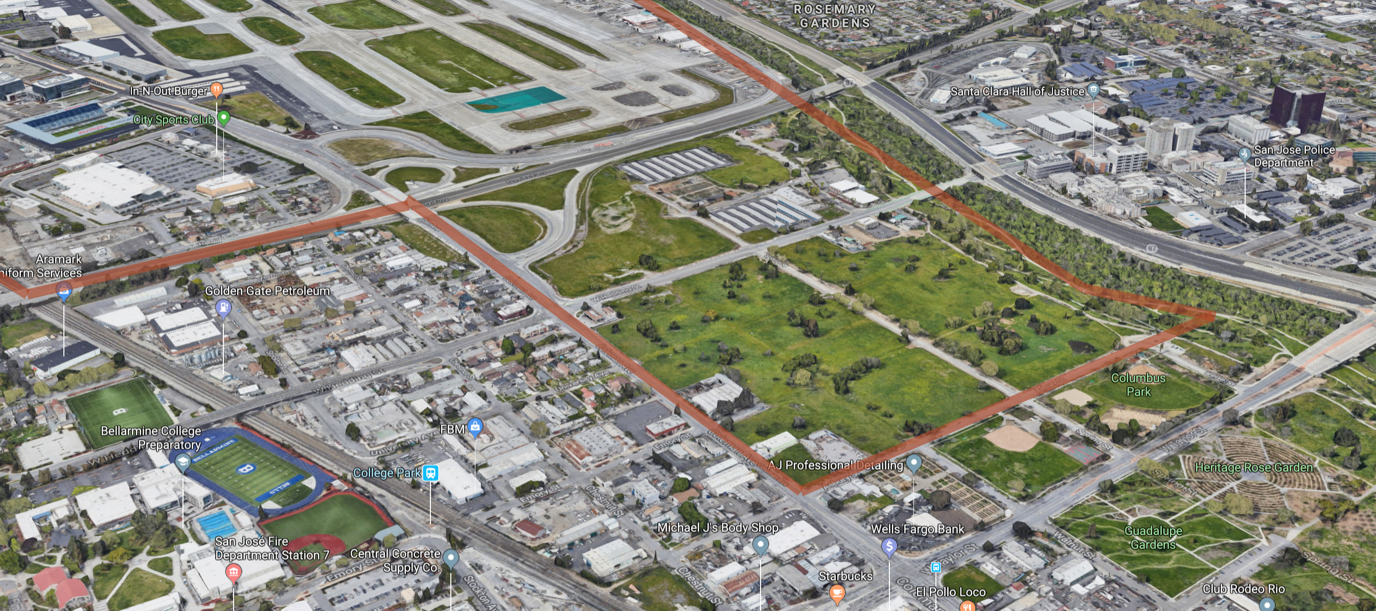
The area shown in orange above has industrial businesses such as a granite business and engineering labs. It is mostly one-story buildings and parking lots.
The area shown in blue has Avaya Stadium, Costco, and City Sports club, but most of the land has no buildings. The undeveloped land is a combination of stadium parking and dirt lots, including some lots which are scheduled to be developed.
The area shown in green is mostly undeveloped because it is in the flight path of landing aircraft.
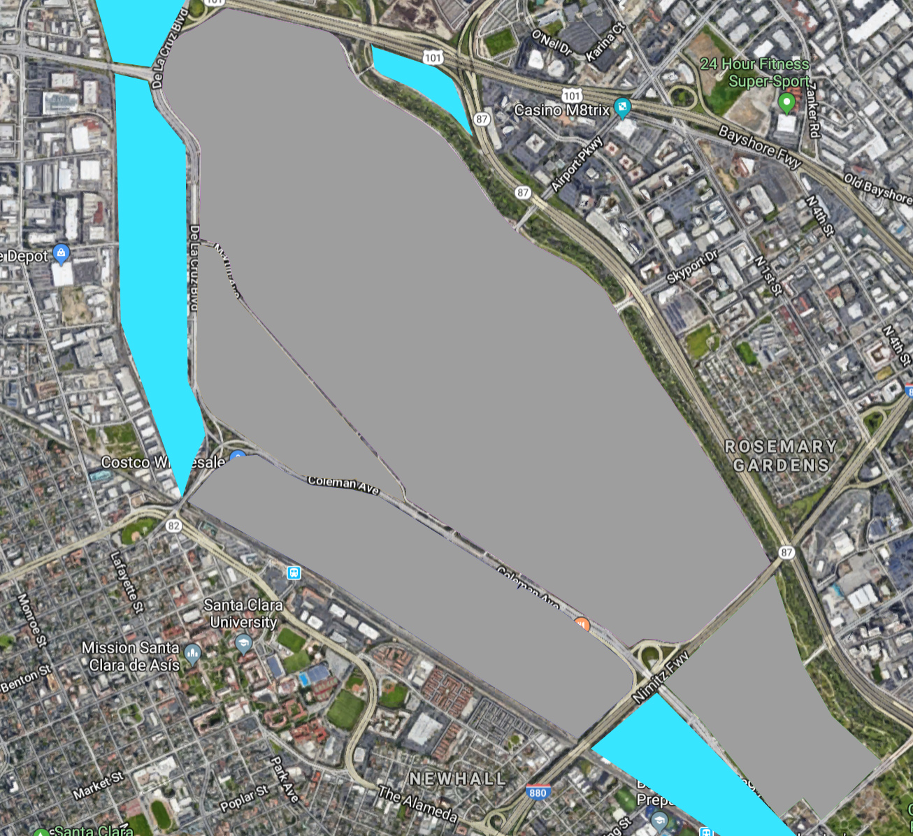
The initial redevelopment area is shown below in gray, with expansion areas in light blue. These expansion areas would take over additional industrial buildings and would extend the area to the Ace train tracks that head north and to the College Park Caltrain station. Additional, iterative expansion is expected as land owners realize they can rezone industrial land in order to build high-rises.
Compare the size of the airport to other points of interest below.
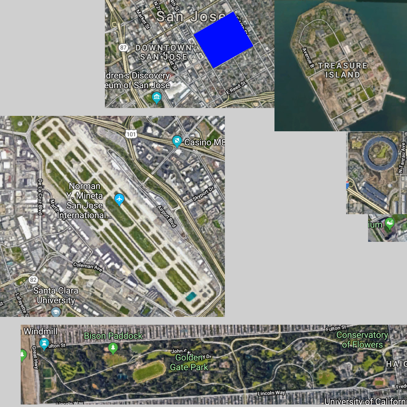
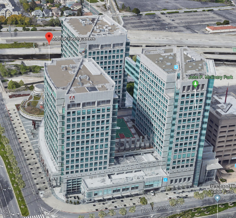
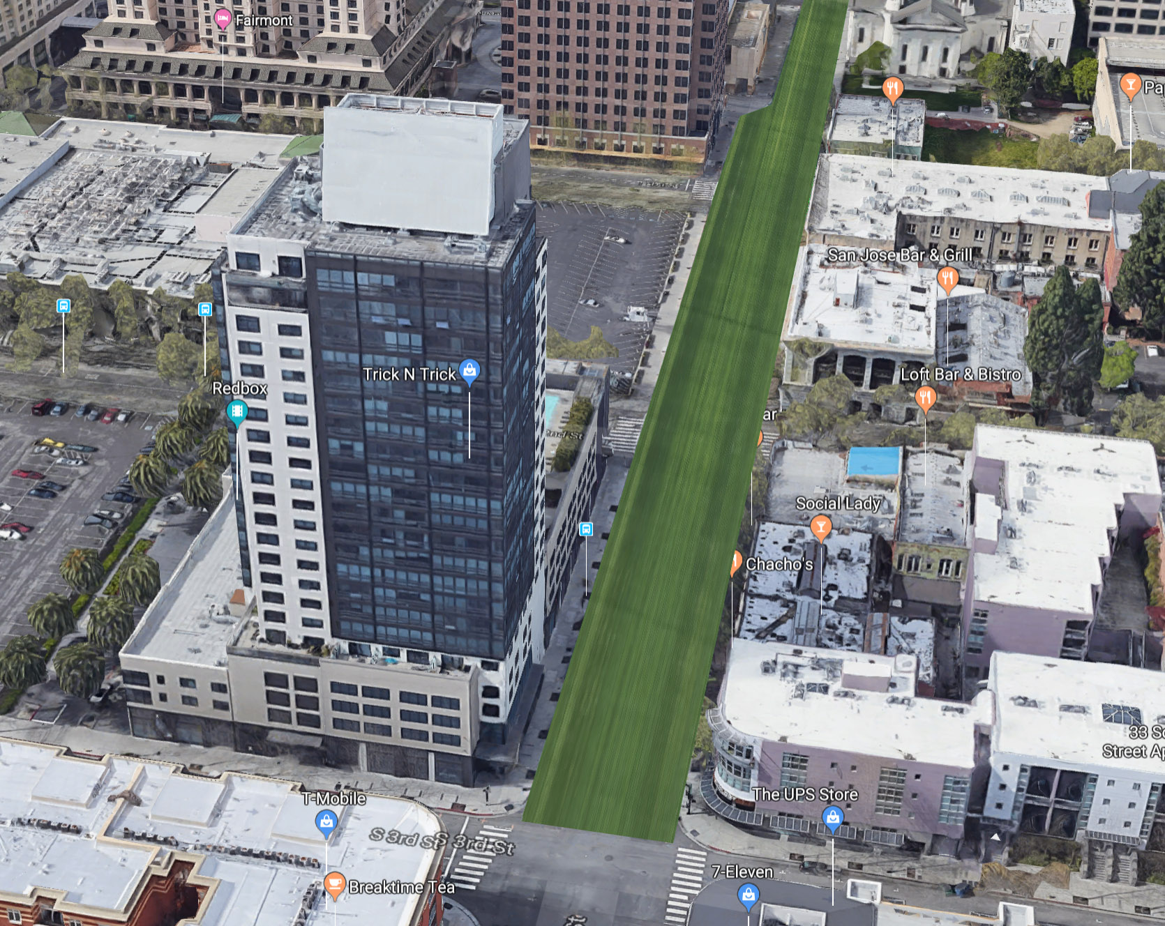
From the top: downtown San Jose (with SJSU in blue), Treasure Island, Apple HQ, Levi's Stadium, and Golden Gate Park.
The total area as shown below (see here) is 2.06 sq. miles, or 1,318 acres. Compare to Manhattan, which is 22 sq. miles.
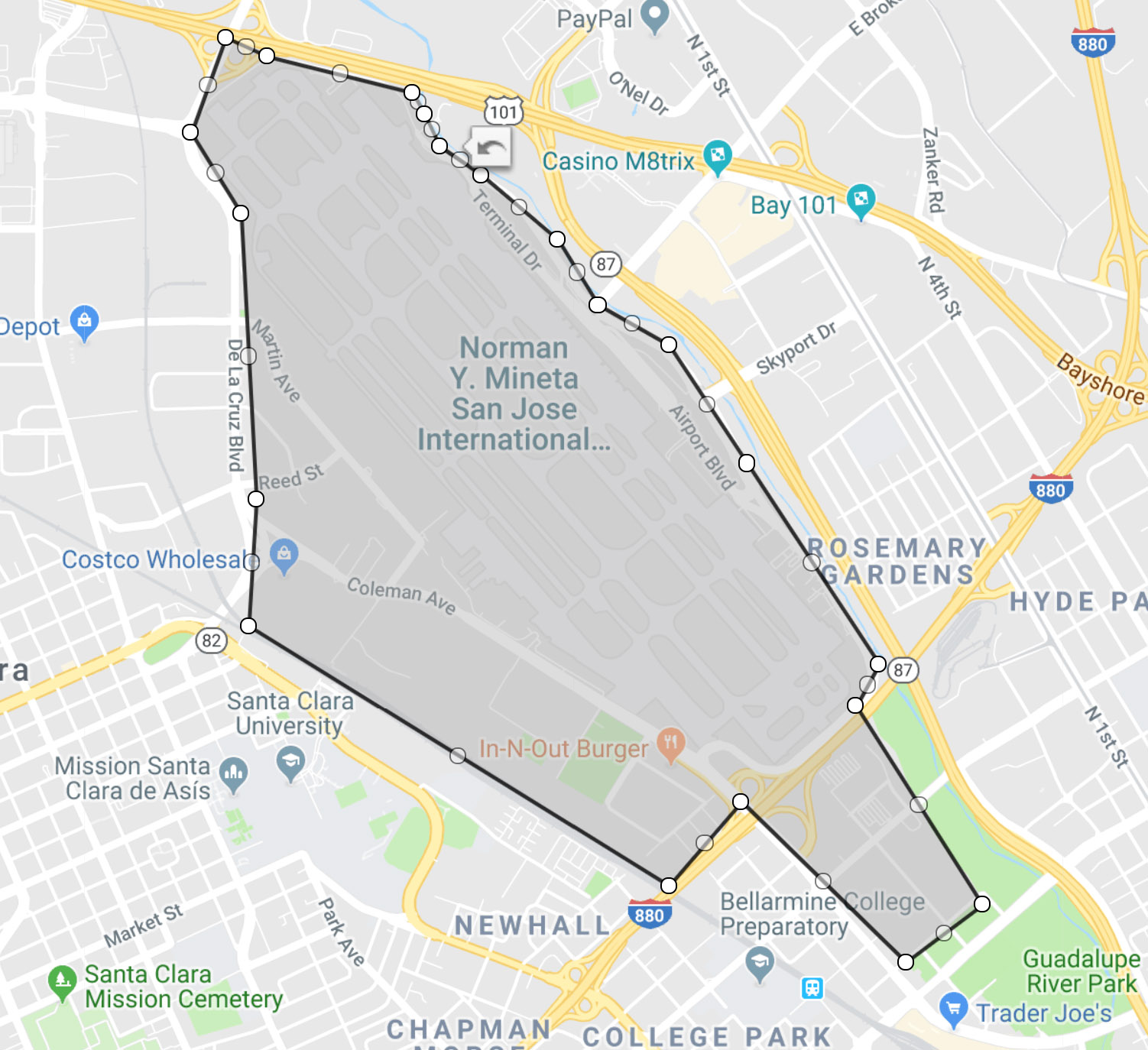
The redevelopment area is surrounded by highways 101, 87, and 880, and by the Guadalupe River, train tracks, and De La Cruz Boulevard (six lanes wide), Coleman Ave (four lanes wide), and Taylor St (four lanes wide). Because of this, we can build tall buildings in the redevelopment area without severely impacting existing communities. The roads are already in place to handle a moderate amount of car traffic.
View of the highway 101 and De La Cruz Boulevard border
View of the train tracks border

View of the Coleman Ave and Taylor St border
View of the highway 87 and river border
The redevelopment is masterplanned with an emphasis on building up and on public transit. The redevelopment provides high-rises and walkable areas that complement the rest of the South Bay, which is mostly single family homes to low-rise buildings and is car dependent.
Normally, cities in the US are developed incrementally, which leads to a) an expensive zoning, permitting, and impact assessment process for each building and b) underdevelopment. For an example of b), consider that most buildings in Manhattan are five or fewer stories tall.
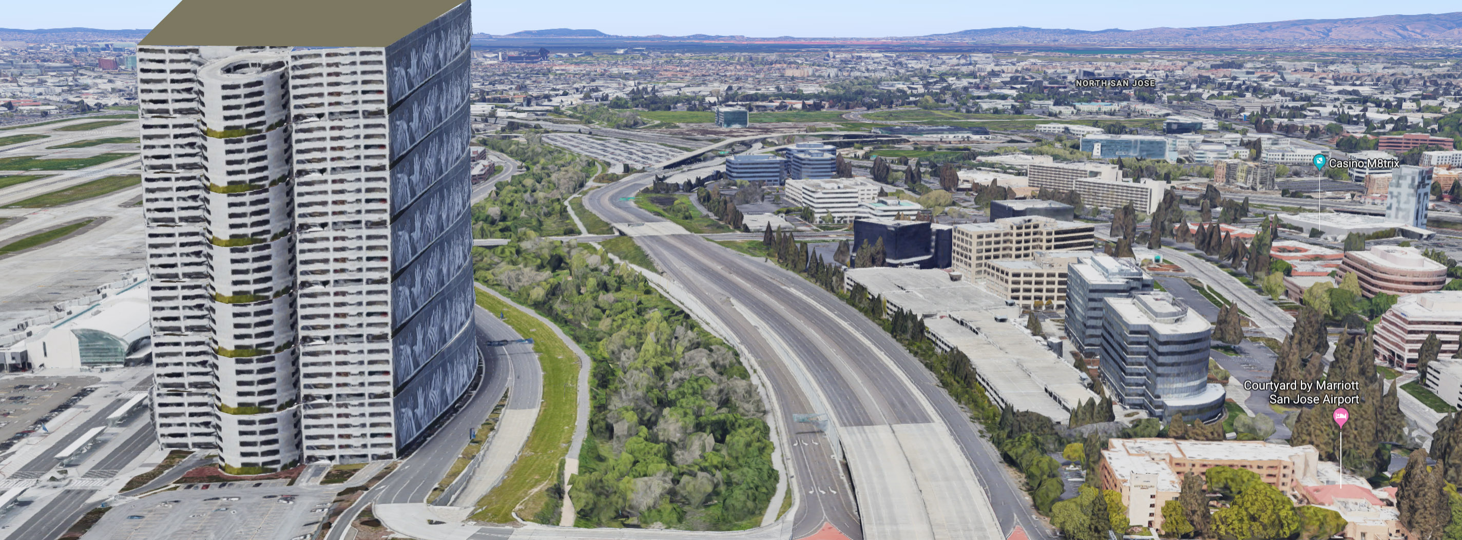
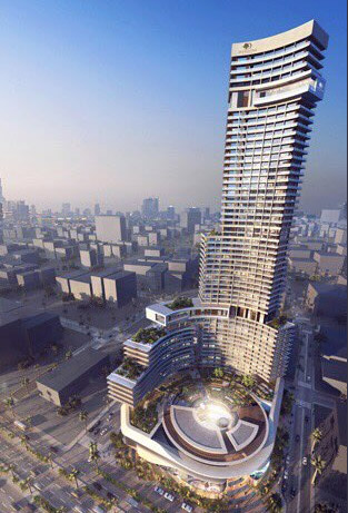
To get maximum use of the land, we densely fill the area with buildings 20-50 stories tall. We achieve greater land-to-building ratio than Manhattan and develop 200,000 sq. ft. of building floorspace per acre of land. That is 260 million sq. ft. total building floorspace. 250,000 people will live in the redeveloped area, and 250,000 people will work in the redeveloped area.
An illustration of a 40-story building adjacent bordering the river and highway
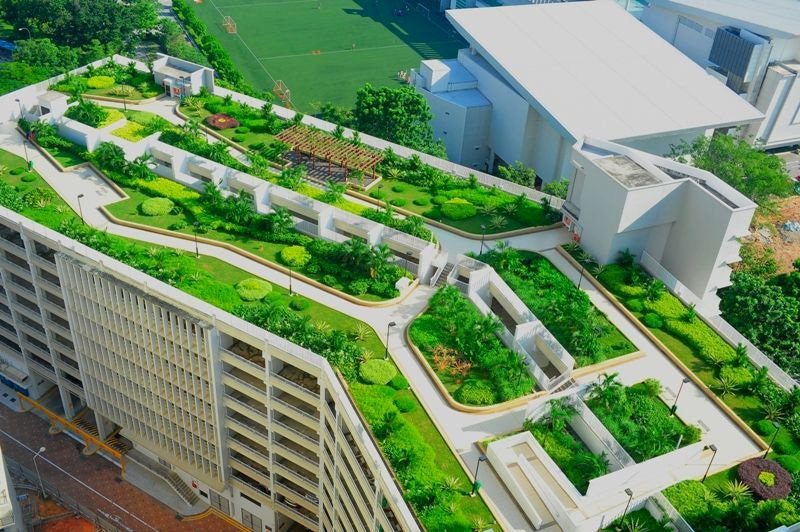
The redevelopment will have very few buildings less than 20 stories tall. This means that schools, libraries, etc., will all be located in mixed-use buildings. To counter the density, there will be parks and walking / biking trails, as well as walkable roofs.
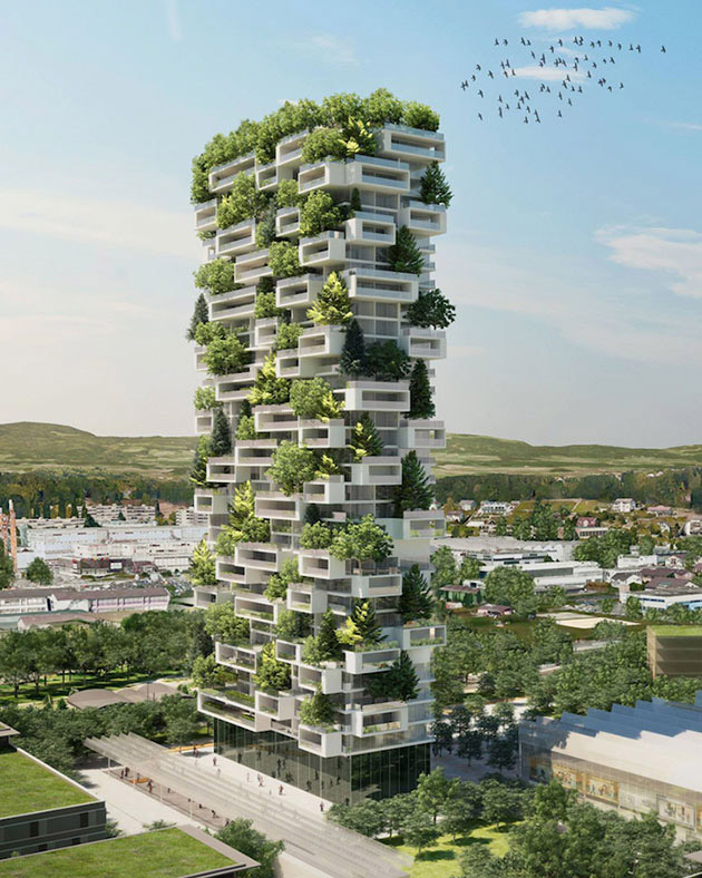
An example of a walkable roof
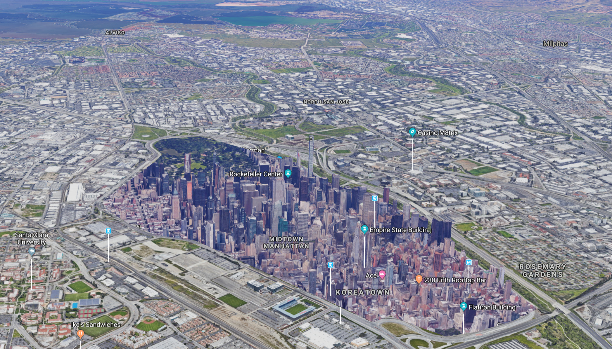
An illustration of the redeveloped area — Manhattan superimposed on the airport
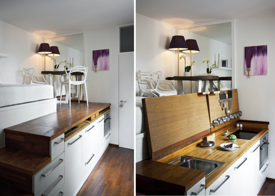
As real estate prices increase, people tend to live in smaller homes. Homes in the redeveloped area retail for $800-1600 / sq. ft., and microapartments provide housing for mid-level income earners. A 200 sq. ft. house can be priced at $160,000 or rent for $1,000 / month.
An example of a microapartment
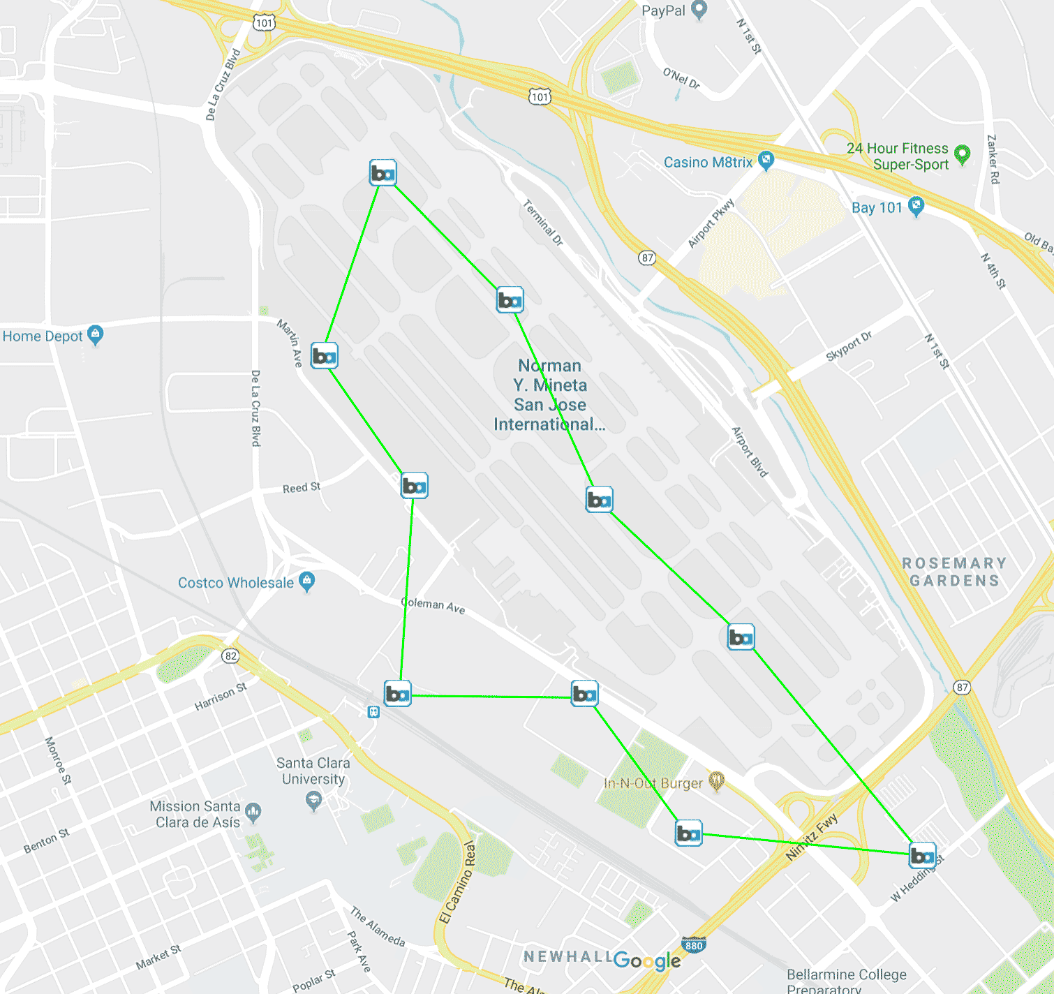
The redevelopment area has Caltrain / Ace and a proposed BART extension on the left, and Light Rail is on the right (two blocks away).
A new BART line (or equivalent metro) will be built underground to service the redevelopment, connecting to the existing Caltrain and proposed BART stop at Santa Clara.
The density of this development makes biking and electric scooters or skateboards practical. Many people live and work in this area and have a commute of less than one mile. The redevelopment is not optimized for cars, although there is underground parking and connections to the bordering 101, 87, and 880 freeways.
The masterplanned redevelopment realizes new designs and concepts that would be difficult in an existing downtown.
Symmetrical buildings and gateways
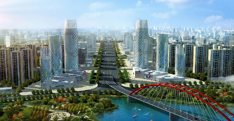
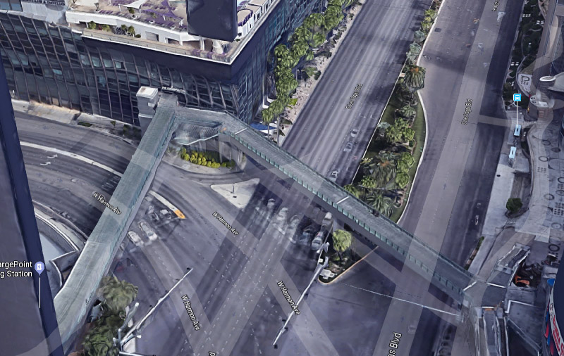
Walkways above roads
Unique buildings
Towers with connecting bridges and a common base
Walkable, grassy areas replacing some roads
The redevelopment will have 260 million sq. ft. total building space at an average retail price of $1,000 per sq. ft., for a total value of $260 billion. Annual property tax revenue will be $2 billion.
Contrast this to the airport, which has annual revenue of $0.17 billion (source) and provides annual state and local tax revenue of $0.12 billion (source).
The redevelopment has a positive impact on the Bay Area's "housing crisis." The Bay Area population has grown from 7.15 million in 2010 to 7.75 million in 2018 (estimate), an increase of 600,000. The redevelopment accommodates a significant part of this growth.
Once the initial redevelopment is done, it will spur a domino effect of additional development adjacent to the redevelopment area. It will be financially practical to build 10+ story buildings adjacent to the redevelopment area because the redevelopment area will be highly desirable. This serves as an alternative to the urban spawl and 3-6 story apartment complexes that are currently being built throughout the Bay Area.
The San Jose airport has 14 million passengers per year. The Oakland airport also has 14 million annual passengers, and the San Francisco airport has 58 million. The Oakland and San Francisco airports are seeing ridership grow each year and are already approaching capacity. If the San Jose airport is shut down, it necessitates changes at the nearby airports to handle more traffic. Or, a new airport will need to be built, such as in south San Jose or Livermore. This adds to the cost, risk, and complexity of the redevelopment.
The airport is a self-contained business that has been set up by the San Jose city government. The city would need to shut down the airport, which will lead to legal complications because the airport is its own entity.
The city government will lead the redevelopment because a) the city is heavily impacted by the redevelopment and should therefore maintain control of it, b) the creation of new public roads, etc., is typically done by the government. This project is bigger than any other recent undertaking by the city government, which is a risk.
The city will use eminent domain in order to acquire the industrial properties near the airport. There are legal risks and risks of delays with this approach.
The project will be opposed by various parties such as residents against development, residents against additional taxes, residents that use the airport for travel, hotels and other businesses that rely on tourists, or organizations that represent airport employees. The California highspeed rail project, which has not been handled well, has turned some voters against large development efforts by the government.
Northern California is known for its earthquakes. Building a tall building such as the Salesforce Tower in the area is a feat with additional costs and risks.
The timeline for this development is as follows: 5 years to socialize and agree to this change, 10 years to stop airport operations and do initial planning, 10 years to bring the first new buildings online, and 25 more years to complete development. This raises the following issues:
There is high demand for real estate in the Bay Area. However, the demand for real estate over $1,000 per sq. ft. (which is the estimated cost for this development) has limits and may be temporary. Additionally, the redevelopment may not attract enough buyers at this price point because it does not have the history, culture, or ocean views that buyers can get in nearby San Francisco at a similar price.
This redevelopment is economically viable, but it is a large effort for the cities of San Jose and Santa Clara. San Jose has annual tax revenues of $1.25 billion (source), and this project would cost approximately $200 billion, with an upfront cost of $10+ billion to close the airport, pay off debt on the airport, build the new BART stations, etc. The project will need to be funded by the state or federal government and by new voter-approved bonds, which requires continual buy-in / approval from those parties.
The article author is not a civil engineer or employee of the city. Important considerations may have been omitted or misrepresented in this article.